Wetland Delineation
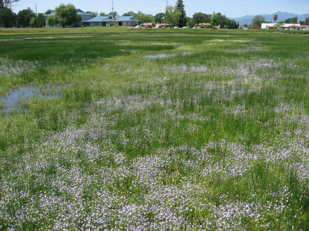
The presence of wetlands on a project site can greatly influence site utilization and project design. The sooner wetland constraints are quantified, the greater the potential for cost-effective accommodation during the design process. Wetlands assessment is best initiated during the land acquisition or programming and budgeting stage, along with other key due diligence actions.
Optimal Site Utilization
ENPLAN has developed a unique array of design and mitigation responses for sites that contain wetlands. These measures ensure optimal site utilization, including reduced mitigation costs and faster approvals. Our specialists advise clients of opportunities to integrate mitigations and features that offset impacts, while often realizing increased amenity values. We operate as project team members recognizing the importance of design responses respectful of development objectives. We thoroughly track available off on-site mitigation alternatives available and enable clients to readily consider them as applicable and analyze their relative cost-effectiveness.
Our wetland expertise derives from professional education grounded in environmental science, on-going professional staff training, and completion of hundreds of screenings and delineations in diverse habitats throughout northern California.
Three Progressive Levels of Service
- Advance Constraints Evaluation. Advanced evaluations are often conducted by ENPLAN during the pre-purchase phase to provide rapid assessment of the presence/absence of wetlands and other waters, and allow early consideration of the opportunities, constraints, and costs that may be associated with development in or adjacent to these resources. Advanced evaluations are based on available remote sensing data, proprietary records for nearby assessments or delineations, and site reconnaissance. We are usually joined in the field by the client and the architect or engineer responsible for site planning. The client is provided with a firsthand oral report during the site walk. No documentation is generally created; however, data gathered can be applied to the next service level.
- Screening Level Assessment and Report. This level of service is applicable where formal documentation is needed to advise local government agencies or other entities as to the absence of wetlands and other waters, or of the ability and intent of the client to fully avoid waters and the need for an Army Corps of Engineers (Corps) permit. The ENPLAN Screening Level Report is not intended to meet full Corps delineation standards, but yet provides the client with documentation accepted as definitive by responsible government agencies, appraisers, title companies, lenders, and other parties involved in property evaluation.
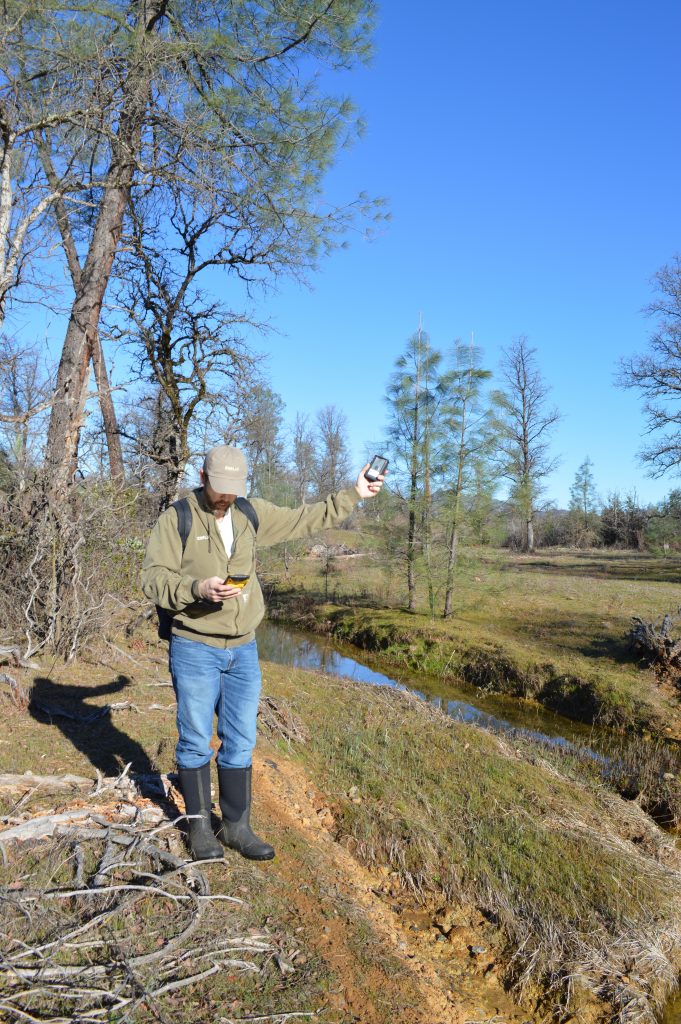
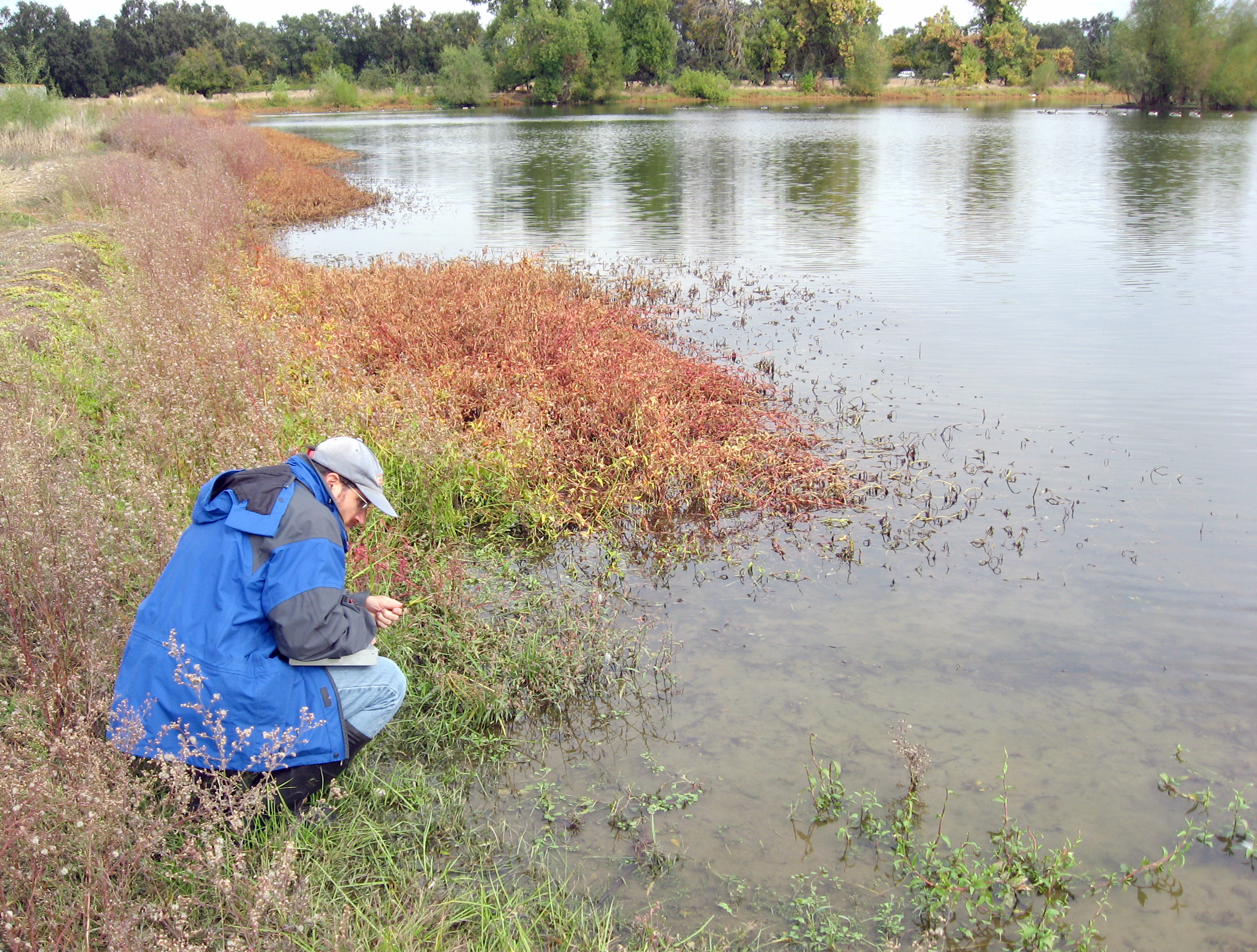
- Full Field Delineation and Report. Full field delineation by ENPLAN is highly regarded and provides a decisive determination of wetland extents. Steps involved include investigation of soils characteristics, assessment of plant species composition, and evaluation of hydrologic conditions. The analysis is conducted in accordance with the Corps Wetlands Delineation Manual, including applicable Supplements, as well as the new wetland delineation mapping standards and the recently adopted National Wetland Plant List. The upland-wetland interface is physically marked and then mapped geospatially using precision GPS equipment enabling the client to proceed with site planning. The results are compiled and packaged for client review, and then submitted to the Corps with careful attention to agency standards and preferences. The delineation process is concluded upon receipt of written documentation from the Corps concurring with our mapped boundaries of wetlands and other jurisdictional waters.
Legislative Basis For Wetland Protection In California
The Federal Government regulates activities affecting wetlands and other waters primarily through Section 10 of the Rivers and Harbors Act and Section 404 of the Clean Water Act. The Rivers and Harbors Act was enacted in 1899 to ensure the navigable capacity of waters of the United States. Section 404 of the Clean Water Act, enacted in 1972, controls the discharge of fill materials into wetlands and other waters of the United States. Activities affecting lakes, streams and/or riparian vegetation are also regulated by the California Department of Fish and Wildlife pursuant to State Fish and Game Code 1602, and by the California Regional Water Quality Control Board pursuant to Section 401 of the Clean Water Act and the State’s Porter-Cologne Water Quality Control Act.


