LiDAR Elevation Data
ENPLAN has over 800 square miles of LiDAR elevation data in stock for use in your projects. At ±15cm vertical and 1m horizontal accuracy, it is the highest-resolution elevation data available for the Shasta, Tehama, and Siskiyou County urban regions. The data was collected via aircraft for us by Sanborn using Optech LiDAR sensor technology. It is available for immediate delivery.
- Wetland Delineations (see image below)
- Site Design
- Storm Water System Engineering
- Environmental Constraints Analysis
- Buildable Area Delineation
- Land Use Mapping and Planning
- Forest Management
- Tree surveys
- Profiles and Sections
- Slope Classification
- Vegetation Analysis
- Line-Of-Sight Determination
- Shaded Relief Maps
- 3-D Perspectives/Modeling
- Volumetric Studies
- Solar Installation Planning
- HEC-RAS Stream Channel Geometry
- Watershed Delineation
- Agricultural Field Visualization
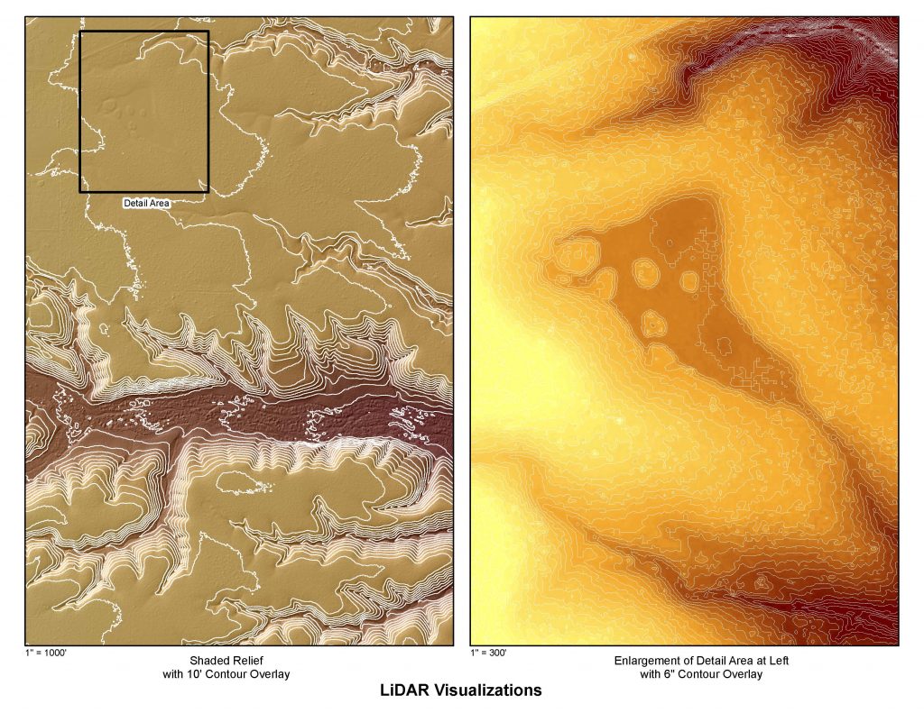
Note articulate pre-delineation of wetland extents in image on right.
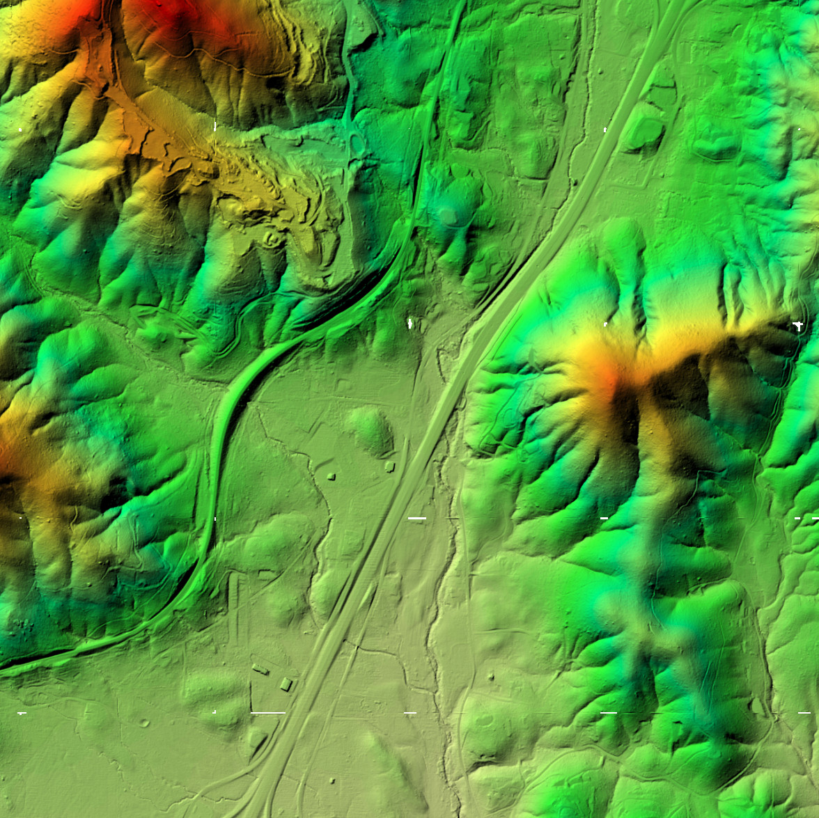
Color Shaded Relief
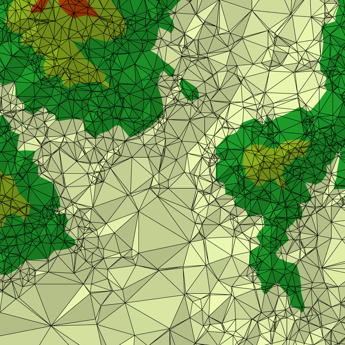
TIN Model
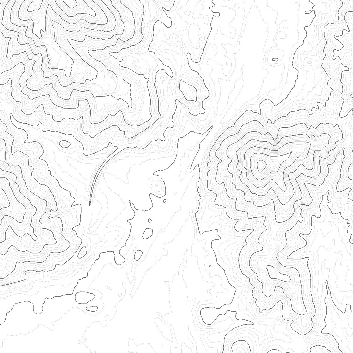
Contour Lines
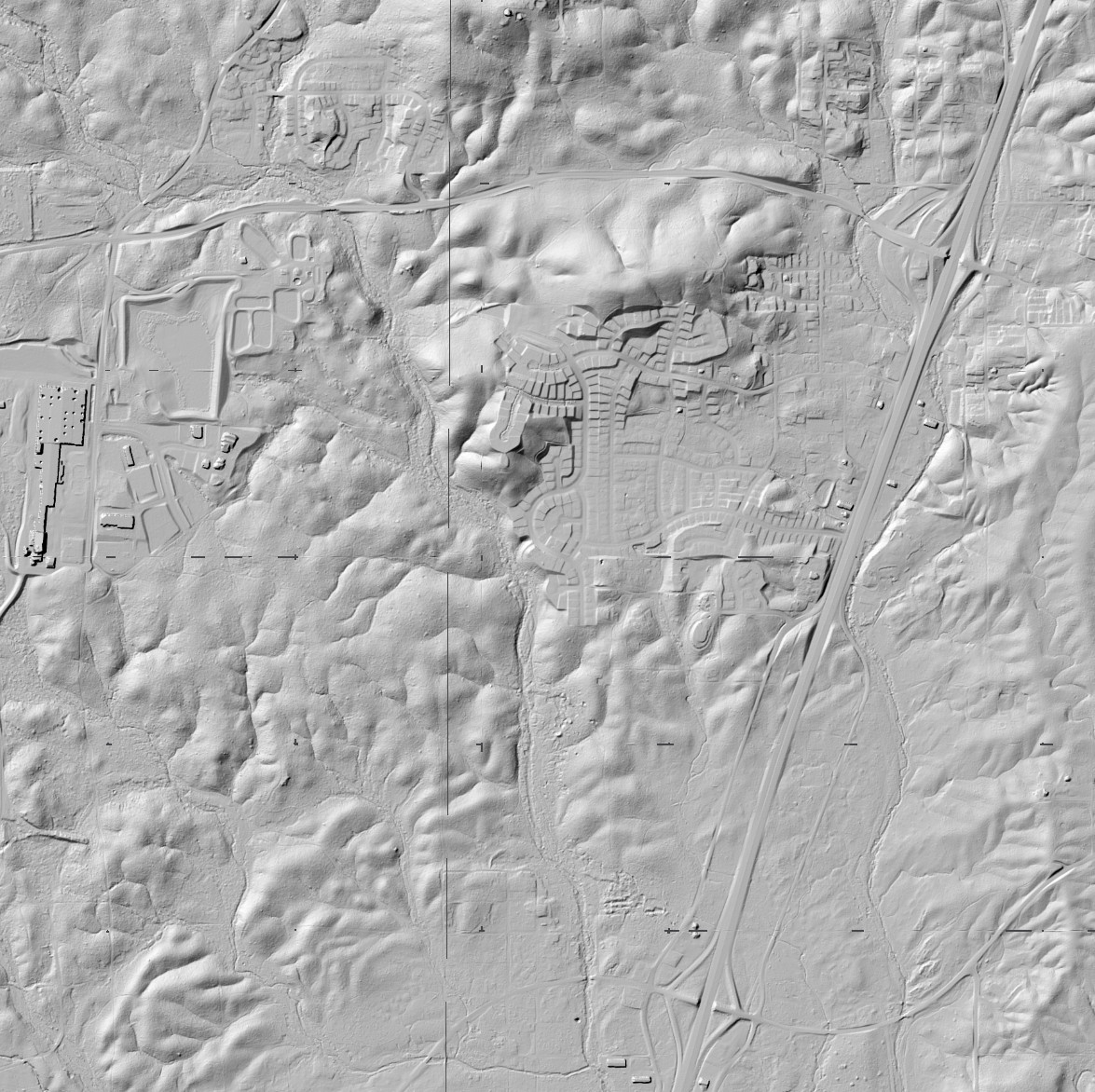
Bare Earth DEM
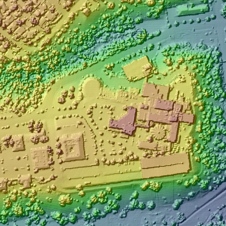
Canopy and Hardscape
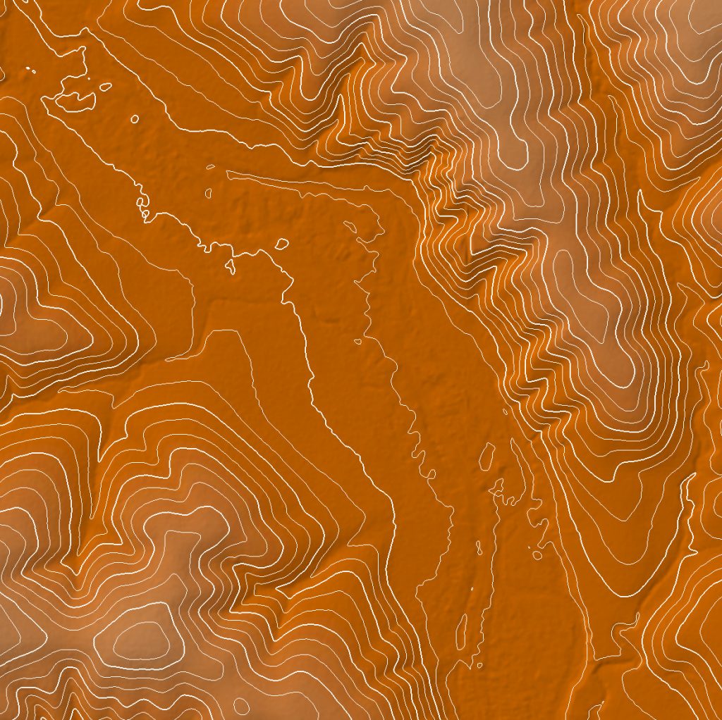
Color Shaded Relief with 3′ Contour Overlay
ENPLAN LiDAR
Elevations were collected at 1m horizontal postings with vertical accuracies of ±15cm at 1 Sigma on flat exposed ground. Precision independent ground survey checks of our bare earth digital elevation model (DEM) data verified this vertical accuracy specification to have been met consistently on such surfaces. The dense and diverse mass-point cloud collected for ENPLAN using LiDAR technology yielded digital elevation data with excellent fidelity and broad utility. Our canopy and hardscape DEMs define vegetation, buildings, and other surface features rising above bare earth. Return intensity files are also available and can be used to produce imagery that differentiates surface textures. Download a copy of the LiDAR Quality Assurance Report.
What is LiDAR?
Airborne Light Detection and Ranging (LiDAR) technology involves a powerful laser, sensor, precision airborne global positioning system (GPS), an inertial measurement unit (IMU) and specialized software. The laser and sensor are operated through a portal on the underside of an aircraft. Laser pulses are emitted very rapidly (100,000+ per second) and the sensor measures both the timing and intensity of returns from strike points on the terrain or other features below. The result is a point cloud from which the primary raw elevation data is extracted.
